We are a land surveying and geospatial consultancy firm
Formally established in February 2020, Clarke Surveys Inc. is a full-service Land Surveying/Geomatics and Geospatial firm located in Barbados. The team is composed of Registered, Licensed, Professional Land Surveyors with experience in Environment and Development, Geoinformatics (GIS/Remote Sensing/Photogrammetry) and Project Management.
Why Choose Us
Every Project is Unique. Your Project is our Passion!
Clarke Surveys is led by Dedicated, Trained, Qualified and Experienced Land Surveyors with over 30 years combined experience in working on projects of all sizes, Clarke Surveys places emphasis on particular values:
Promptness
Accessibility
Transparency
Diligence
Honesty
Accountability
What we Do
Services
Cadastral Surveys
As Licensed Land Surveyors, we can provide boundary surveys inclusive of boundary reports, retracements, new plot plans and boundary resolutions/ investigations
Land Development
Town Planning Applications and Consultations. We work with you the client to realize your land development projects such as subdivisions, amalgamations and other TCPO applications
Construction and Engineering Setting Out
We provide high-precision, timely setting out services for all construction needs: residential and commercial
Topographic and As-Built Surveys
We provide detailed mapping services inclusive of elevations and above ground detail for all projects pre and post-construction
Geodetic and Control Surveys
Establishment of precise 1D, 2D and 3D control networks using traditional and GNSS techniques
GIS and Mapping
We provide data acquisition that serves as the base data layers needed for GIS and mapping
Geospatial Consultancy
Intelligent Geospatial mapping and analysis services and consultancies are offered to clients of all sizes
Clarke Surveys services clients from several sectors such as Legal, Construction, Real Estate and the General Public. Clarke Surveys is able to scale from a one person crew to a multi surveyor crew easily with their complement of trained, professional team members. There is always someone available to handle client needs. While their formation is new they can draw on the collective experience of all team members.
Meet our team
Professional Staff
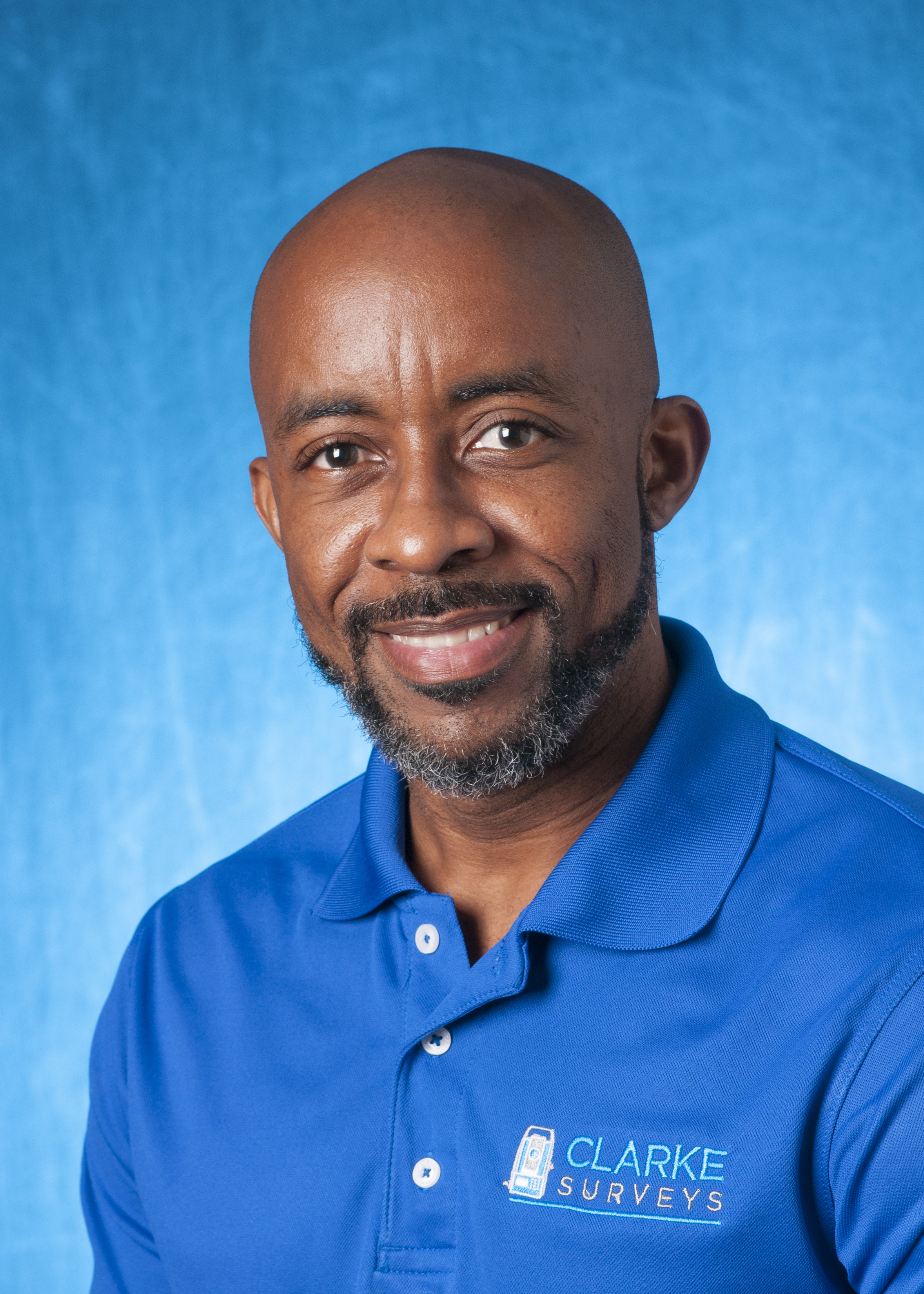
Andre Clarke
Managing Director, Land Surveyor
Andre Clarke has 18 years of experience as a registered, professional Land Surveyor complemented with formal qualifications in Geoinformatics, Management and IT. Andre has experience successfully managing multiple surveying crews simultaneously in the execution of client projects. As a Partner and Managing Director; attention to detail, precision and an innovative approach are key qualities exemplified by Andre.

Michelle St Clair
Land Surveyor
Michelle St. Clair has 15 years of experience as a registered, professional Land Surveyor complemented by her qualifications in Environment and Development from the University of Edinburgh. In addition to being an established Land Surveyor boasting an impressive portfolio of successful projects, Michelle is an active member of the Committee of Management of the Barbados Lands Surveyors Association; an active member of regional geospatial initiatives such as CARIGEO; and actively participates in the global UN-GGIM. As a Partner, Michelle pours her energy into every project and possesses an excellent balance of intellect and empathy.

Jamal Gaskin
Land Surveyor
Jamal Gaskin is the most recent addition to the team but brings with him over six years of experience in the construction and engineering field. Jamal is the primary Land Surveyor in the field ably managing and executing various projects in the company’s portfolio. Besides his duties at Clarke Surveys, Jamal is actively pursuing qualifications in Facilities Management.
Learn more about our equipment
Equipment & Assets
GNSS Receivers
Multi-constellation (GPS, Glonass, Galilleo, Beidou) Receivers from Leica Geosystems and Carlson
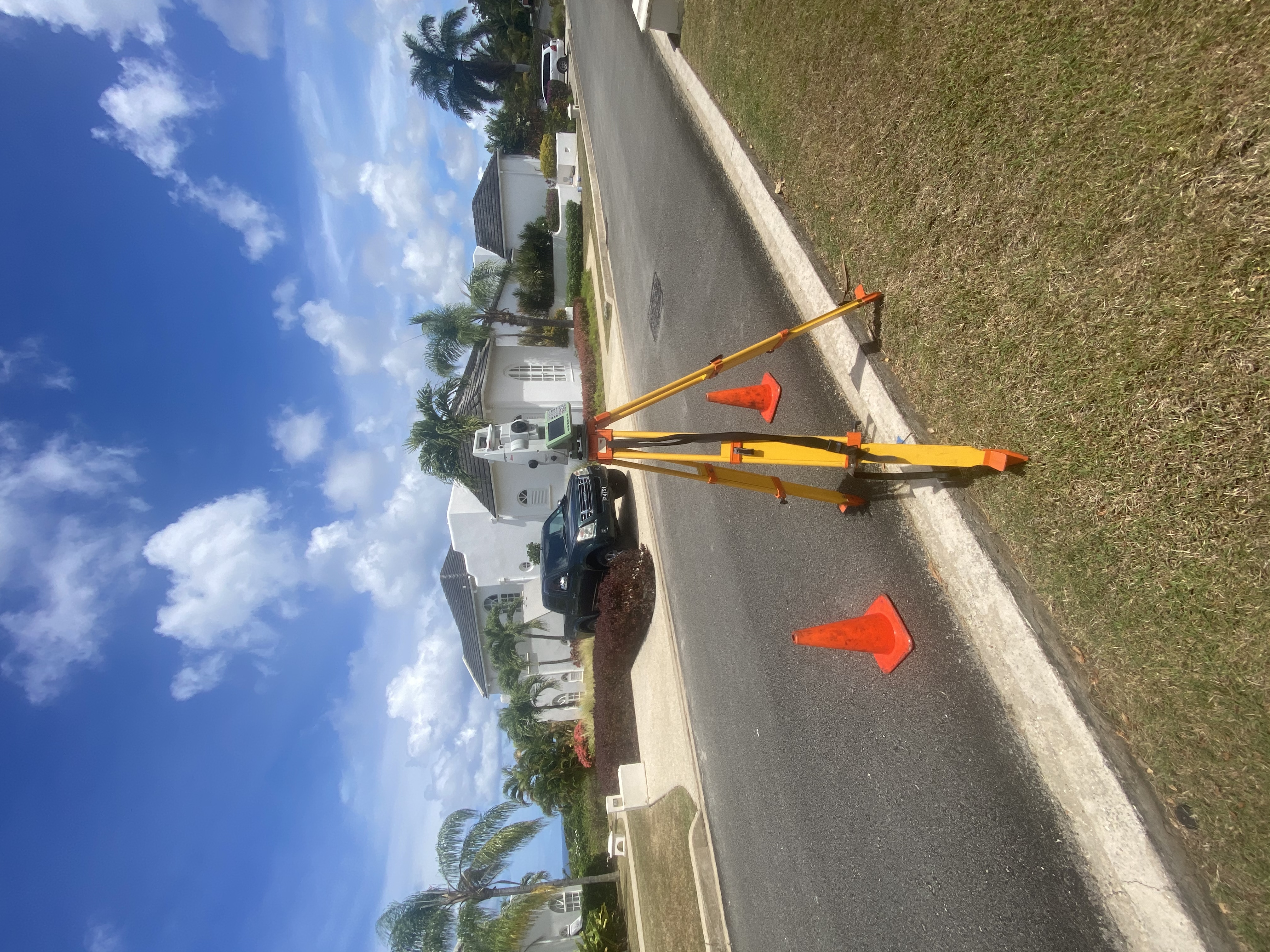
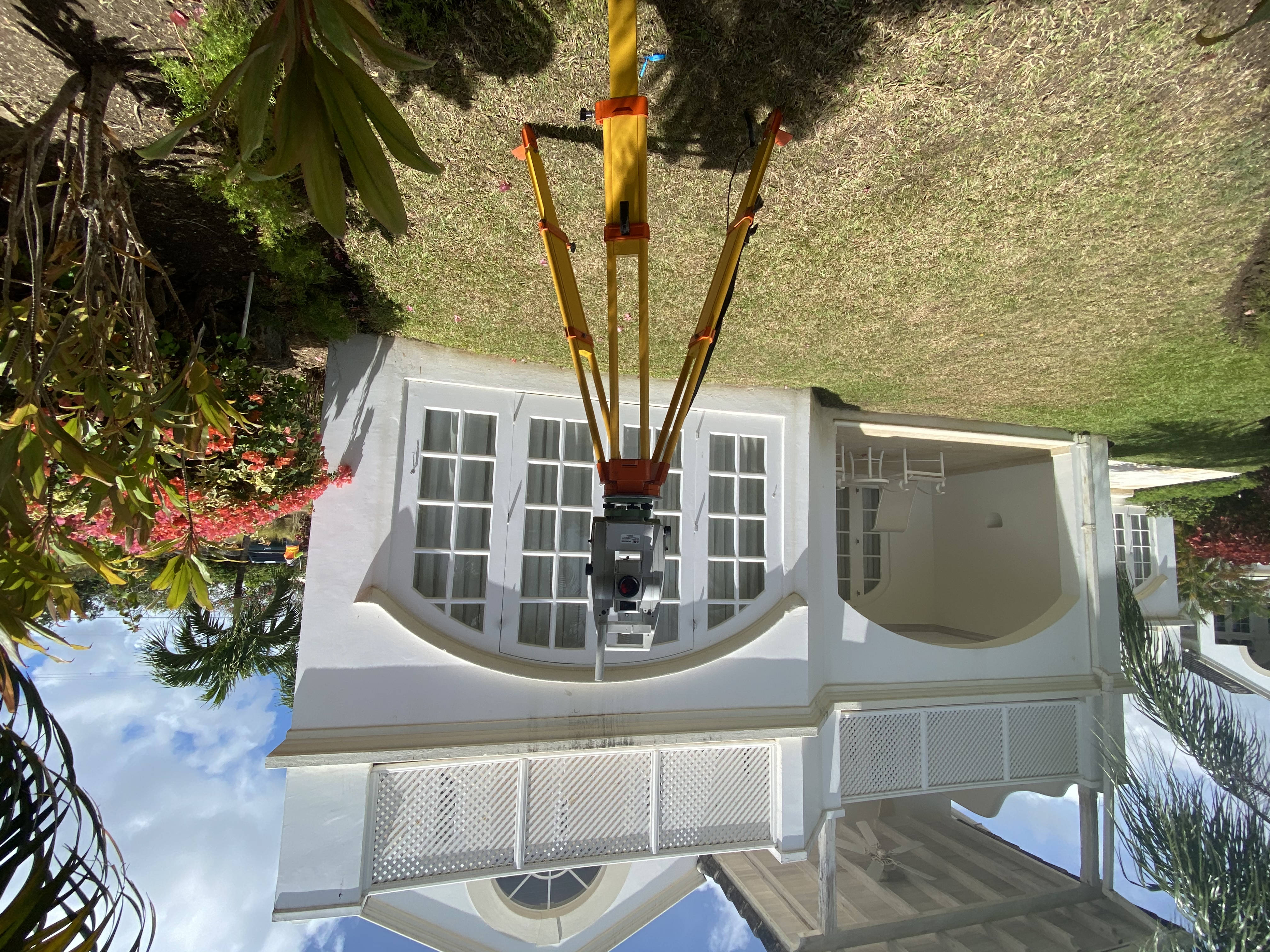
Robotic Reflectorless Total Station
3" robotic reflectorless (500m) instruments
Manual Reflectorless Total Station
5" manual reflectorless (500m) instruments
Digital Level
Precise Leica digital level
UAV
Modern drone technology from DJI
Software
AutoCAD, Carlson Civil Suite, Pix4DMapper, Leica Infinity, Carlson SurvPC
